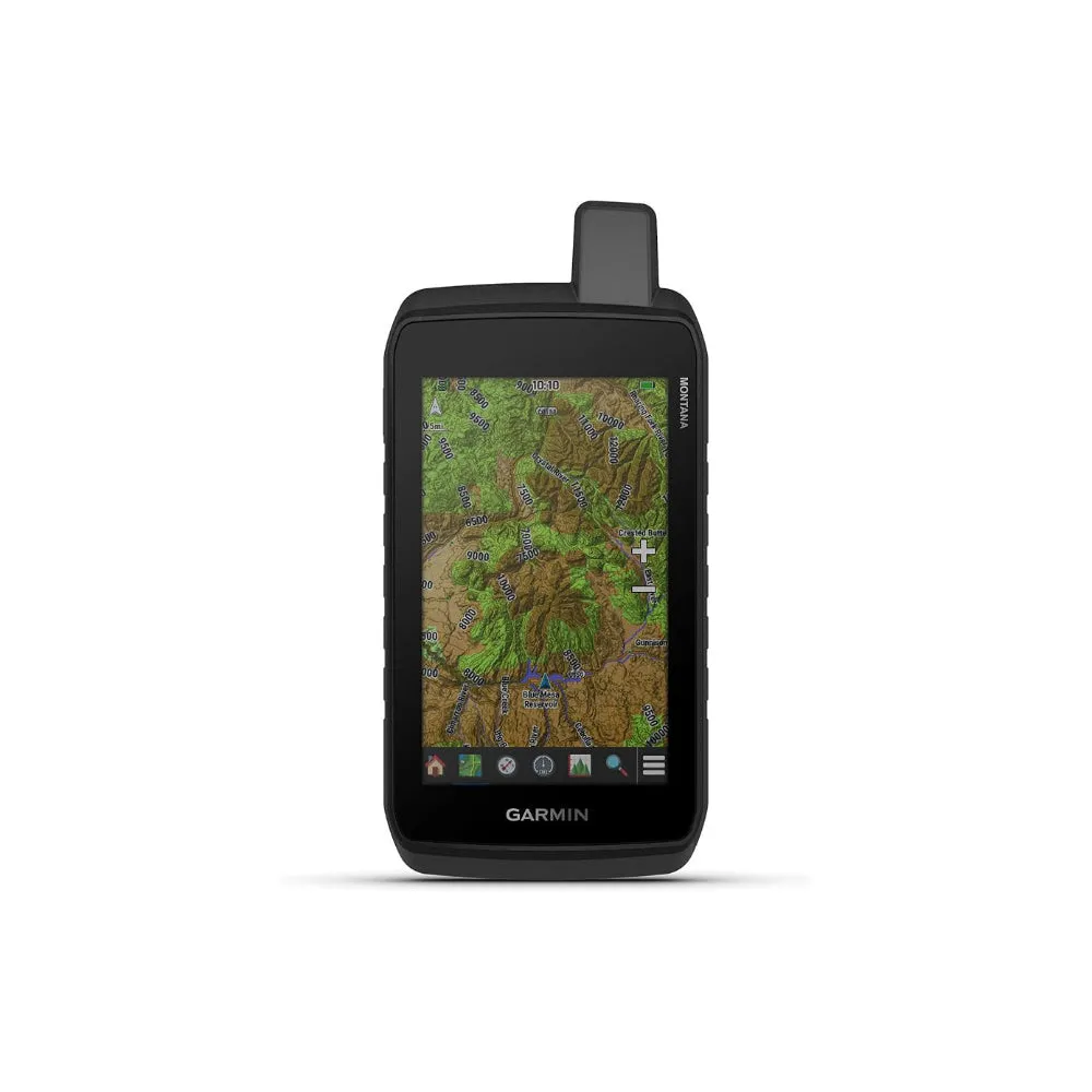
Garmin Montana® 710 Unisex Black Satellite Imagery And Maps For Routing On Roads And Trails Rugged GPS Handheld Navigator With Large 5-inch Glove-Friendly Touchscreen
- 5" glove-friendly touchscreen handheld GPS navigator with easy-to-view color display; available with versatile mounting options (sold separately), depending on your activity
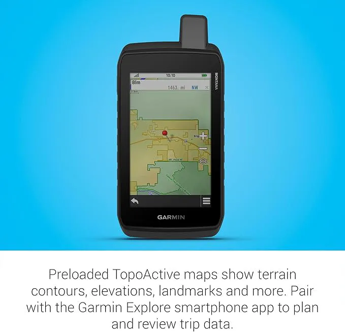
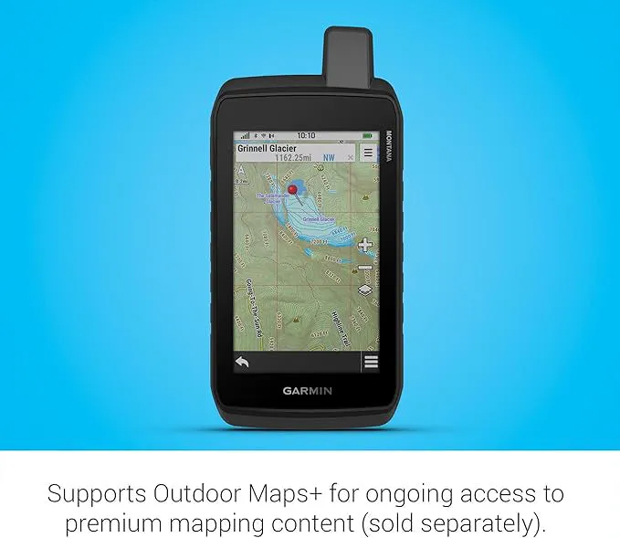
- Navigate your adventures with included TopoActive maps and the ability to download additional maps, such as City Navigator maps for streets and BlueChart g3 charts for water (sold separately)
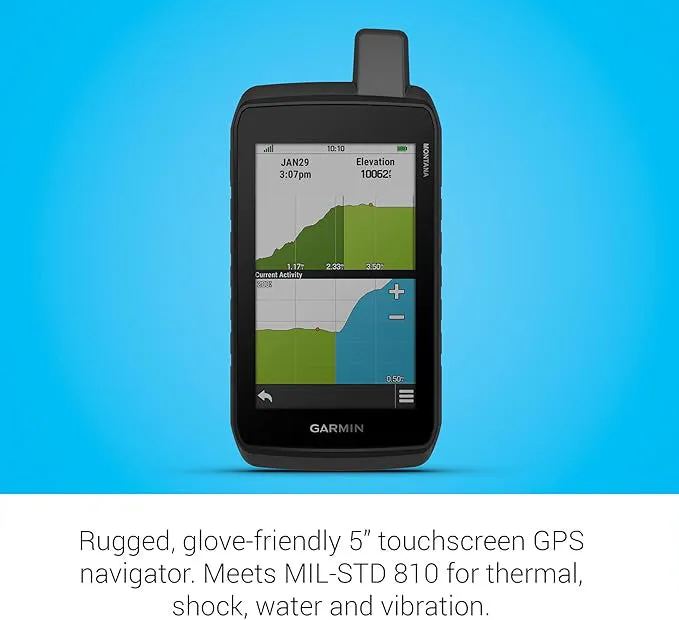
- Rugged construction is rated to MIL-STD 810 for thermal, shock and vibration and IPX7 for water-resistance
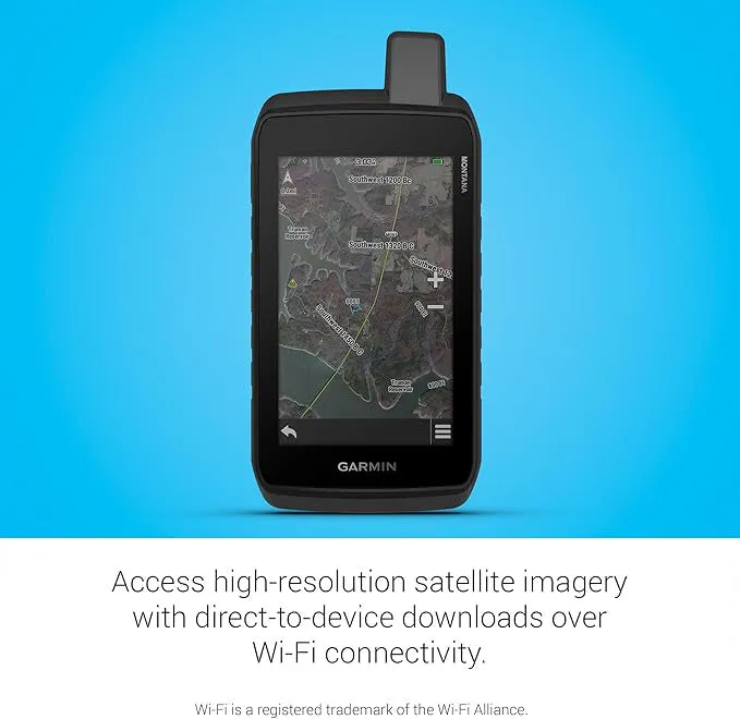
- Downloadable high-resolution satellite imagery shows photorealistic overhead views and lets you create waypoints based on landmarks
- Expanded 32 GB memory capacity lets you store additional maps and more to keep your expeditions on course; with a subscription to Outdoor Maps (sold separately), get ongoing access to a wide variety of premium mapping content, which you can download to your navigator via Wi-Fi technology
- Compatible with the Garmin Explore smartphone app to plan and review trip data; also manage your waypoints, courses and activities
- Rechargeable lithium-ion battery pack can provide up to 24 hours of battery life in GPS mode and up to 432 hours in expedition mode between charges; can also be powered with traditional AA batteries (not included)
- Recharge easily with a standard USB-C cable
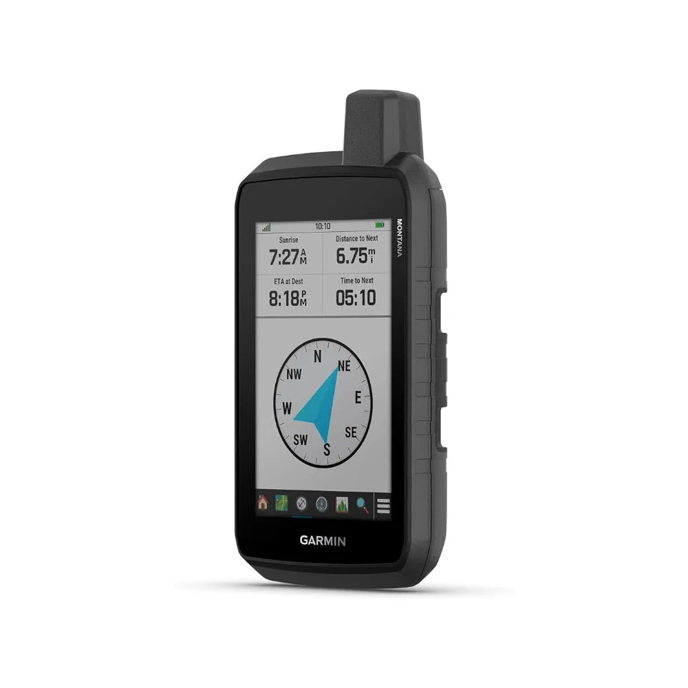
- Built-in ABC sensors help you navigate your next trail, including an altimeter for elevation data, barometer to monitor weather and 3-axis electronic compass
- Access up-to-date active weather forecasts via the Garmin Connect app on your compatible smartphone


")


